Shaping Cities, One Flight at a Time
Innovative Tools for Urban Development

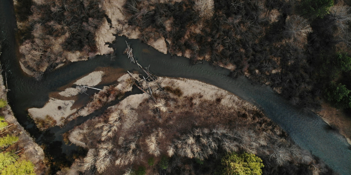
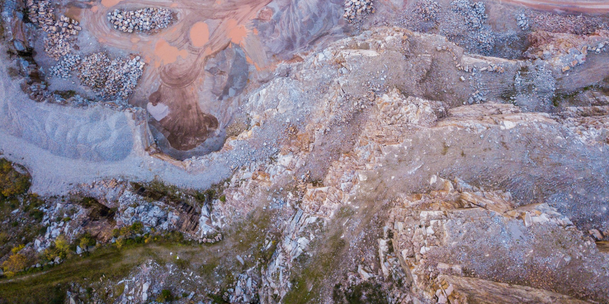
Our drones provide urban planners and city developers with precise aerial imaging and data analytics to assess infrastructure, monitor construction, and optimize land use. High-resolution photography enables detailed mapping for zoning, traffic flow, and green space planning, ensuring sustainable growth.
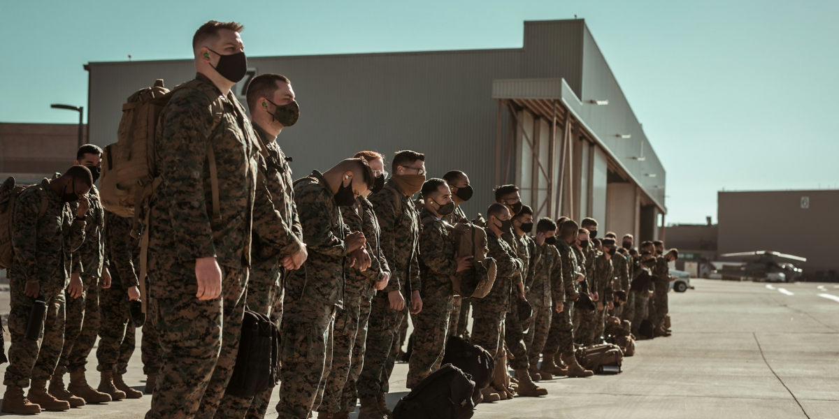
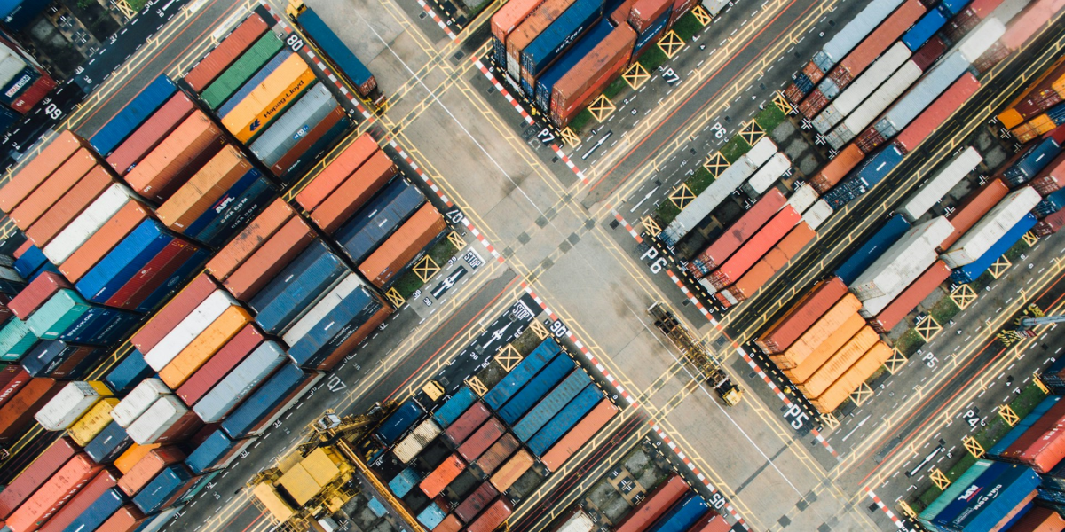
In collaboration with public safety, drones enhance situational awareness for policing and emergency responses. For complex projects, drones can deliver materials and equipment efficiently, bridging logistical challenges. Our solutions empower cities to plan smarter and operate with efficiency and safety in mind.
“Revolutionizing city planning—our projects are more efficient and informed thanks to this technology.”
Emily Ross, Urban Planner
Empowering vibrant urban development

Precision Planning
Our drone services empower urban development with precision, sustainability, and enhanced operational capabilities for vibrant, well-planned cities.
Real-time Surveillance
Surveillance capabilities deliver actionable intelligence for construction monitoring and public safety planning
Efficient delivery
Drones ensure timely transport of essential equipment, supporting complex urban projects seamlessly


Let us help you
