Mapping the Future, One Flight at a Time
Precision Mapping for Smarter Decisions

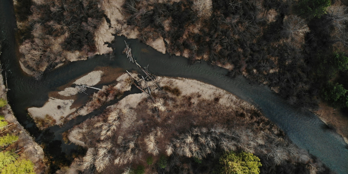
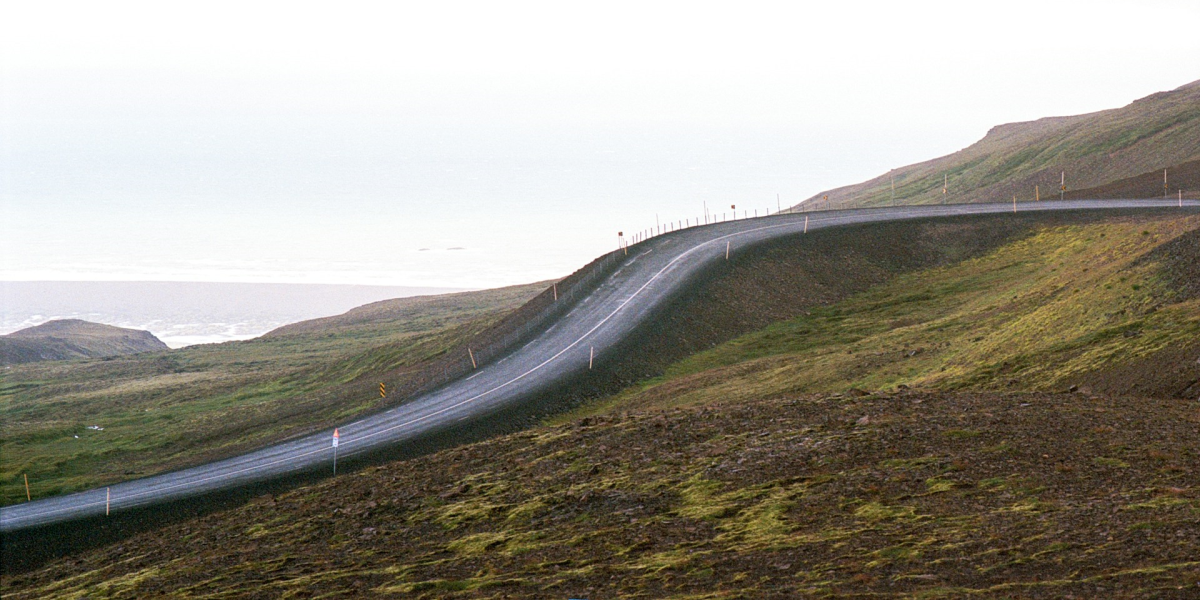
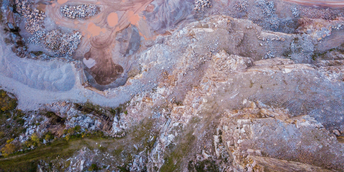
Skynole drones provide unparalleled capabilities for mapping and surveying projects, capturing high-resolution aerial imagery and real-time data. From topographical surveys to land development planning, our drones ensure accuracy and efficiency in data collection.
With advanced imaging and AI-powered analytics, we deliver actionable insights for industries such as construction, agriculture, and environmental monitoring. Our delivery drones also streamline logistical needs, ensuring equipment and samples reach their destinations efficiently, enhancing project timelines and outcomes.
“Unmatched precision and efficiency—these drones are essential for modern surveying.”
Mark Davis, Land Surveyor
Deliver Actionable Insights

Accurate imaging & planning
High-resolution aerial photography provides detailed visuals for precise topographical and site analysis
Advanced analytics
AI-powered tools turn raw data into actionable information for smarter decision-making
Precision mapping
Detailed aerial mapping supports mission planning and terrain analysis, ensuring operational success in complex environments


Let us help you
